


Maps, defined as visual representations of geographic areas that help people understand, navigate, and communicate about the world, have always been more than just drawings on paper—they are powerful tools that shape how we see our surroundings and connect with one another. From the earliest cave markings to today’s digital maps in our pockets, the history of maps tells the story of human curiosity, exploration, and innovation.

The Origins of Mapping
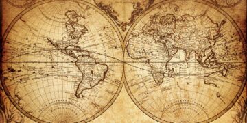
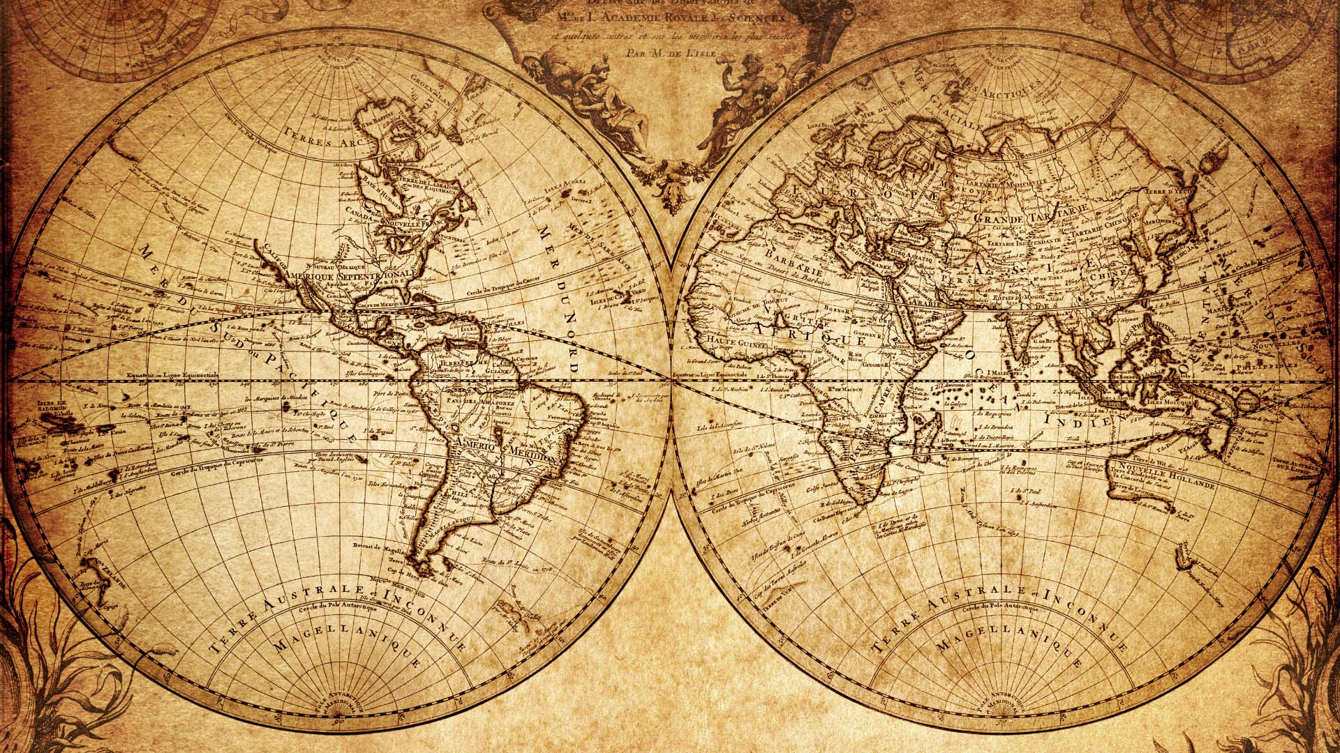
When we look at the history of maps, we see that the first maps were simple sketches etched into stone, clay, or animal hides. Ancient civilizations such as the Babylonians and Egyptians used maps to record land boundaries, rivers, and trade routes. These early charts were not always geographically accurate, but they offered a vital way to share knowledge and manage resources.
Maps as Tools of Power and Exploration
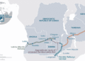
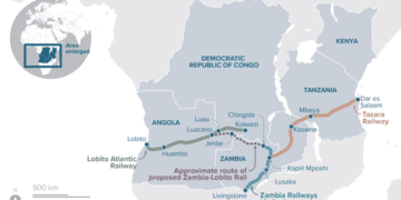
As societies expanded, maps became essential for exploration and empire-building. During the Age of Discovery in the 15th and 16th centuries, European explorers relied on increasingly detailed charts to navigate oceans. Accurate maps allowed explorers like Columbus and Magellan to open new trade routes, fueling global exchange—and colonization.
Maps also served political purposes. Rulers used them to claim territories, plan wars, and showcase power. A line drawn on a map could change borders, shape nations, and impact millions of lives.
Scientific Advances in Cartography
The invention of the compass, telescope, and printing press transformed mapmaking. By the 17th century, cartographers were creating highly accurate world maps using mathematical calculations and astronomical observations. These advances not only improved navigation but also deepened humanity’s understanding of geography and science.
The Digital Revolution: From Paper to Pixels
The 20th century brought a new era of mapping. Satellite imagery, aerial photography, and GPS technology made maps more precise than ever. Suddenly, we could see Earth from space, track weather patterns, and study environmental changes in real time.
Then came the internet—and with it, a radical shift. Platforms like Google Maps and Apple Maps turned sophisticated cartography into an everyday tool. With just a few taps, anyone can explore distant cities, find directions, or even view streets in 3D.
How Maps Shape Daily Life Today
- Navigation: GPS helps drivers, pilots, and sailors travel efficiently.
- Urban Planning: Cities use mapping software to design roads, buildings, and infrastructure.
- Disaster Response: Maps help governments and aid agencies respond to earthquakes, floods, and other crises.
- Social Life: Location-sharing apps and geotags shape how people connect, date, and socialize.
Conclusion
From ancient clay tablets to smartphone screens, maps have guided humanity’s journey across time. They are not just tools for finding our way but reflections of how we see ourselves in the world. As digital maps continue to evolve with AI and augmented reality, one thing remains clear: maps will keep changing the way we live, travel, and understand our planet.